- Главная
- Разное
- Дизайн
- Бизнес и предпринимательство
- Аналитика
- Образование
- Развлечения
- Красота и здоровье
- Финансы
- Государство
- Путешествия
- Спорт
- Недвижимость
- Армия
- Графика
- Культурология
- Еда и кулинария
- Лингвистика
- Английский язык
- Астрономия
- Алгебра
- Биология
- География
- Детские презентации
- Информатика
- История
- Литература
- Маркетинг
- Математика
- Медицина
- Менеджмент
- Музыка
- МХК
- Немецкий язык
- ОБЖ
- Обществознание
- Окружающий мир
- Педагогика
- Русский язык
- Технология
- Физика
- Философия
- Химия
- Шаблоны, картинки для презентаций
- Экология
- Экономика
- Юриспруденция
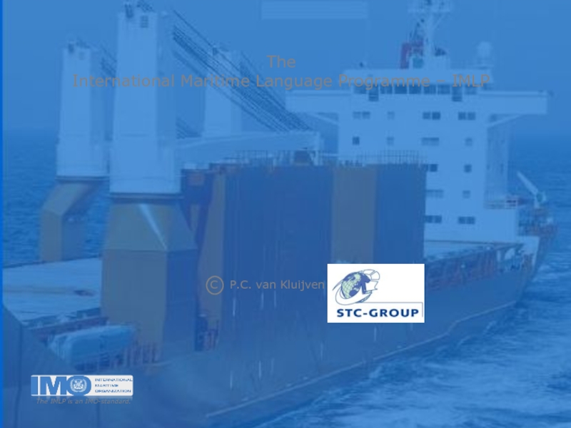
Maritime Communication GMDSS презентация
Содержание
- 1. Maritime Communication GMDSS
- 2. GMDSS communication at any time
- 3. Priorities: 3: Safety message 2:
- 4. Sea Areas: A1: area extending to
- 5. ("SOLAS-vessels") are all vessels engaged on
- 6. GMDSS-terrestrial systems Radio-Telephony (RTF) Digital
- 7. Radiotelephony “simplex” radio:
- 8. DSC digitally announces and initiates ship/ship, ship/shore,
- 9. A DSC distress-alert consists of a preformatted
- 10. Distress alerts are automatically addressed to all
- 11. Maritime Mobile Service Identity A DSC-installation
- 12. GMDSS-Satellite systems Inmarsat, COSPAS/SARSAT,
- 13. INMARSAT Communication by means of the
- 14. NAVTEX is a telex-receiver/printer installed on GMDSS-vessels
- 15. Emergency Position Indicating Radio Beacon An
- 16. Search and Rescue Radar Transponder A
- 17. COSPAS-SARSAT Unlike the Inmarsat-satellites, COSPAS/SARSAT
- 18. s Maritime Communication short precise

Слайд 2GMDSS
communication at any time
and under any circumstances
Global Maritime
s
(by means of Radio Telephony, Satellite, Digital Selective Calling or Telex).


Слайд 4Sea Areas:
A1: area extending to 30 miles off-shore
A2: area
A3: area extending beyond 200 miles off-shore
A4: beyond 70 degr. Lat. North/South

Слайд 5("SOLAS-vessels")
are all vessels engaged on
international voyages, except:
- very
- vessels that are not self-propelled,
- and men-of-war.
GMDSS-vessels

Слайд 6GMDSS-terrestrial systems
Radio-Telephony (RTF)
Digital Selective Calling (DSC)
Direct Printing Telegraphy (DPT)
Navigational
Search and Rescue Radar Transponder (SART)
 Digital Selective Calling (DSC)Direct Printing Telegraphy (DPT)Navigational Telex (NAVTEX)Search and Rescue")
Слайд 7Radiotelephony
“simplex” radio:
simultaneously.
“duplex” radiotelephone:
speaking and listening can be done
simultaneously.
“semi-duplex” installations:
simultaneous speaking and listening,
but receiving-end has simplex-installation.
for short distances in territorial waters and inland waterways.

Слайд 8DSC digitally announces and initiates ship/ship, ship/shore, and shore/ship radiotelephone- and
After the announcement has been digitally acknowledged by the receiving station or ship, communication is usually continued by RTF.
Digital Selective Calling

Слайд 9A DSC distress-alert consists of a preformatted distress message.
Natures of distress
“disabled and adrift”, “piracy” and “undesignated distress”.
Digital Selective Calling

Слайд 10Distress alerts are automatically addressed to all stations with the distress-button
Urgency, safety and routine calls can be addressed to all stations or ships, an individual station or ship, or a group of stations or ships.
Digital Selective Calling

Слайд 11Maritime Mobile Service Identity
A DSC-installation on board a vessel or
It is sent automatically with each DSC-transmission.
The first three digits of the MMSI are the
Maritime Identification Digits (MID), representing the country of registration.

Слайд 12GMDSS-Satellite systems
Inmarsat,
COSPAS/SARSAT,
Emergency Position Indicating
Status Recording-system (STAREC).
, Status Recording-system (STAREC).")
Слайд 13INMARSAT
Communication by means of the
geostationary Inmarsat-satellites extends in an
70 degrees latitude North and
70 degrees latitude South.
The 4 Inmarsat-regions:
- Atlantic Ocean Region West (AOR-W);
- Atlantic Ocean Region East (AOR-E);
- Indian Ocean Region (IOR);
- Pacific Ocean Region (POR).

Слайд 14NAVTEX is a telex-receiver/printer installed on GMDSS-vessels to receive Maritime Safety
These navigational messages are addressed “to all vessels” and contain information concerning meteorological warnings, SAR-operations and other important and urgent data.
NAVTEX
. These navigational")
Слайд 15Emergency Position Indicating Radio Beacon
An EPIRB will be released from
by hand, or automatically by a hydrostatic release
mechanism.
It will be activated automatically and will start
to transmit a distress alert to Rescue-Coordination
Centres via satellite, giving position and identification
of the vessel.

Слайд 16Search and Rescue Radar Transponder
A SART will transmit an alert
a series of dots on the radar display of a
Search & Rescue-Unit that will then have the
means to locate the distressed raft or vessel.

Слайд 17COSPAS-SARSAT
Unlike the Inmarsat-satellites,
COSPAS/SARSAT satellites are not
geostationary, but orbit
on a North/South- and South/North path.

Слайд 18s
Maritime Communication
short
precise
unambiguous
simple
Click here to open the