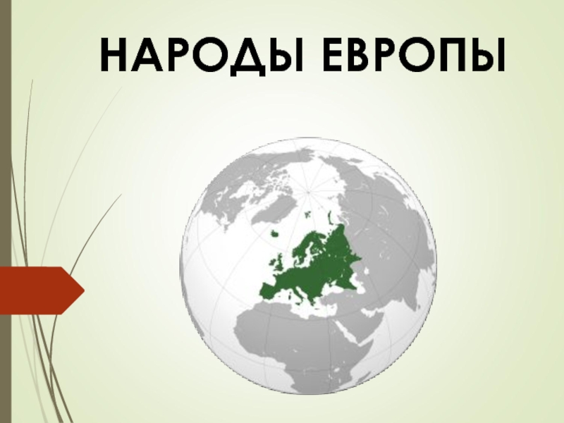
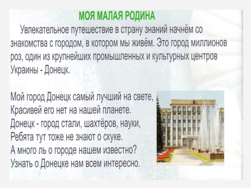
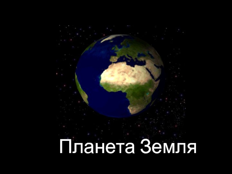
- Главная
- Разное
- Дизайн
- Бизнес и предпринимательство
- Аналитика
- Образование
- Развлечения
- Красота и здоровье
- Финансы
- Государство
- Путешествия
- Спорт
- Недвижимость
- Армия
- Графика
- Культурология
- Еда и кулинария
- Лингвистика
- Английский язык
- Астрономия
- Алгебра
- Биология
- География
- Детские презентации
- Информатика
- История
- Литература
- Маркетинг
- Математика
- Медицина
- Менеджмент
- Музыка
- МХК
- Немецкий язык
- ОБЖ
- Обществознание
- Окружающий мир
- Педагогика
- Русский язык
- Технология
- Физика
- Философия
- Химия
- Шаблоны, картинки для презентаций
- Экология
- Экономика
- Юриспруденция
Structure and Plate Tectonics презентация
Содержание
- 1. Structure and Plate Tectonics
- 2. 4- Deformation of Rocks A force causes
- 3. Three Types of Stress 4- Compression –
- 4. 4- Earth’s Interior Internal heat source is
- 5. 4- Earth’s Structure
- 6. 4- Earth’s Structure Crust – Less dense
- 7. Earth’s Interior Scientists hypothesize inner and
- 8. 4- Earth’s Magnetic Field Inner core is
- 9. 4- Earth’s Magnetic Field
- 10. 4- Earth’s Internal Heat Geothermal gradient 25°C/km
- 11. Earth’s Internal Heat 4-
- 12. 4- Continental Drift Idea that continents were
- 13. Continental Drift Alfred Wegener 1922 book on
- 14. 4- Developing Theory of Plate Tectonics
- 15. 4- Developing Theory of Plate Tectonics Mapping
- 16. Mapping the Ocean Floor 4-
- 17. Magnetic Studies Igneous basalts contain iron mineral
- 18. Magnetic Reversal Figure 4.11 Page 101
- 19. Sea Floor Spreading Figure 4.12, Page 101
- 20. Earthquakes Earthquake – release of energy that
- 21. Earthquake Locations Figure 4.13, Page 102
- 22. Earthquake Locations Epicenters along Mid Atlantic Ridge
- 23. Last Piece of Evidence for Continental Drift
- 24. Polar Wandering 4-
- 25. 4- Plate Tectonics and Earth’s Systems By
- 26. Plate Tectonics and Earth’s Systems Plate Boundaries
- 27. 4- Plates
- 28. Plate Boundaries Movement generates compression, tension or
- 29. 4- Plate Boundaries
- 30. 4- Movement of Plates Figure 4.17, Page 106
- 31. Surface Features & Plate Boundaries Convergent Oceanic-oceanic
- 32. 4- Surface Features & Plate Boundaries Divergent
- 33. Divergent Plate Boundaries 4-
- 34. Convergent Plate Boundaries 4-
- 35. Transform Plate Boundary 4-
- 36. East African Rift Valley 4-
- 37. East African Rift Valley 4-
- 38. Future of African Continent? 4- http://www.pmfias.com/wp-content/uploads/2015/12/East-African-Rift-Valley-break-up.jpg
- 39. 4- Plate Boundaries and People Natural hazards

Слайд 24-
Deformation of Rocks
A force causes stress on rocks
Rocks near surface are
elastic and will return to original form when stress is removed
Elastic limit – point at which rocks are no longer elastic and deformation becomes permanent
Rocks can be brittle or ductile
Rocks deform, slide by each other along point of fracture or fault
Elastic limit – point at which rocks are no longer elastic and deformation becomes permanent
Rocks can be brittle or ductile
Rocks deform, slide by each other along point of fracture or fault

Слайд 3Three Types of Stress
4-
Compression – pushes on rocks from opposite directions;
shortens rocks
Tension – pulls from opposite directions; stretches / lengthens
Shear – pressure in uneven manner; rocks become skewed
Temperature, time and pressure are factors in stress.
Tension – pulls from opposite directions; stretches / lengthens
Shear – pressure in uneven manner; rocks become skewed
Temperature, time and pressure are factors in stress.

Слайд 44-
Earth’s Interior
Internal heat source is energy causing metamorphism, uplift of crust
(rock cycle)
Seismic waves (earthquake waves)
Travel at different speeds through different materials
Reflect and refract when density changes
Has allowed scientists to determine boundaries b/w materials within Earth
Seismic waves (earthquake waves)
Travel at different speeds through different materials
Reflect and refract when density changes
Has allowed scientists to determine boundaries b/w materials within Earth
Seismic waves (earthquake")

Слайд 64-
Earth’s Structure
Crust –
Less dense layer
Lithosphere < 15 km, brittle rigid, broken
into tectonic plates
Mantle
~2,900 km (1,800 mi) thick
Rocky, iron rich silicates, upper layer is asthenosphere
Silicates nearer to melting point; usual source of magma
Mantle
~2,900 km (1,800 mi) thick
Rocky, iron rich silicates, upper layer is asthenosphere
Silicates nearer to melting point; usual source of magma

Слайд 7Earth’s Interior
Scientists hypothesize inner and outer core are iron-nickel alloy
Outer
core
Metallic liquid
Inner core
Metallic solid
Metallic liquid
Inner core
Metallic solid
4-

Слайд 84-
Earth’s Magnetic Field
Inner core is solid, rotates faster than planet
Electrically charged
metallic ions in outer core circulate
Generates magnetic field
Used for magnetic north in compasses
Blocks some solar radiation
Generates magnetic field
Used for magnetic north in compasses
Blocks some solar radiation


Слайд 104-
Earth’s Internal Heat
Geothermal gradient 25°C/km – temperature increases with depth
Heat from
radioactive decay of U, Th, & K
Friction (internal compression) and pressure
Conduction – heat transferred through atmosphere to space
Convection transfers heat; driven by temperature induced changes in density
Friction (internal compression) and pressure
Conduction – heat transferred through atmosphere to space
Convection transfers heat; driven by temperature induced changes in density


Слайд 124-
Continental Drift
Idea that continents were once joined first proposed in 1596
by Dutch mapmaker
1850s – American writer noted how S. America and Africa shorelines fit together
Frank Taylor, American geologist, 1910 suggested the continents were once joined
1850s – American writer noted how S. America and Africa shorelines fit together
Frank Taylor, American geologist, 1910 suggested the continents were once joined

Слайд 13Continental Drift
Alfred Wegener 1922 book on theory of continental drift
More evidence
than Taylor –
similar sequences of rocks
fossil evidence
coal in Antarctica
evidence of past glaciation in tropical and desert areas
Proposed supercontinent, Pangaea
Could not fully explain how
similar sequences of rocks
fossil evidence
coal in Antarctica
evidence of past glaciation in tropical and desert areas
Proposed supercontinent, Pangaea
Could not fully explain how
4-


Слайд 154-
Developing Theory of Plate Tectonics
Mapping ocean floor began in 1855 by
U.S. Navy
WW1 and sonar
1950s many sonar surveys by scientists
Mid oceanic ridges – mountain chain in Atlantic Ocean
Ocean trenches as deep as 35,000 ft
Map location and depths of earthquakes
Fall on plate boundaries
Polar wandering
Moving poles and continents supported data
WW1 and sonar
1950s many sonar surveys by scientists
Mid oceanic ridges – mountain chain in Atlantic Ocean
Ocean trenches as deep as 35,000 ft
Map location and depths of earthquakes
Fall on plate boundaries
Polar wandering
Moving poles and continents supported data


Слайд 17Magnetic Studies
Igneous basalts contain iron mineral magnetite (Fe3O4)
Magnetite is naturally magnetic
Atoms
orient parallel to Earth’s magnetic field when rock cools
Field of paleomagnetism studies changes in magnetic poles over geologic time
Field of paleomagnetism studies changes in magnetic poles over geologic time
4-
Magnetite is naturally magneticAtoms orient parallel to Earth’s")

Слайд 19Sea Floor Spreading
Figure 4.12, Page 101
Mid oceanic ridges – magma erupts
forming new ocean crust
Rocks older farther away from ridge crests
1968 – drilling and dating basalts
Oldest part of sea floor 200 million yrs old
Atlantic basin growing, crust material destroyed in trenches in Pacific basin
Rocks older farther away from ridge crests
1968 – drilling and dating basalts
Oldest part of sea floor 200 million yrs old
Atlantic basin growing, crust material destroyed in trenches in Pacific basin

Слайд 20Earthquakes
Earthquake – release of energy that occurs when rocks are deformed
past their elastic limit causing a rupture
Energy travels out in seismic waves
Epicenter – point on the surface that directly overlies point where rocks rupture
1960s – global network of seismic recording stations
Energy travels out in seismic waves
Epicenter – point on the surface that directly overlies point where rocks rupture
1960s – global network of seismic recording stations
4-


Слайд 22Earthquake Locations
Epicenters along Mid Atlantic Ridge – magma rises up, buckles
crust forming ridge
Epicenters coincide with continental mountain ranges
Subduction occurs when plate is forced downward into mantle; associated with volcanic activity at ocean trenches
Epicenters coincide with continental mountain ranges
Subduction occurs when plate is forced downward into mantle; associated with volcanic activity at ocean trenches
4-

Слайд 23Last Piece of Evidence for Continental Drift
Magnetite rocks form/cool, atoms orient
to magnetic north pole
Throughout geologic time, rocks orient to different location – “polar wandering”
Different continents had different paths
Paleomagnetic and sea floor spreading studies prove continents were moving no the N. pole
Throughout geologic time, rocks orient to different location – “polar wandering”
Different continents had different paths
Paleomagnetic and sea floor spreading studies prove continents were moving no the N. pole
4-


Слайд 254-
Plate Tectonics and Earth’s Systems
By 1960, 50 years of data proved
sea floor spreading at mid ocean ridges
New crust formed at ridges, and crust destroyed at trenches through subduction
Tectonic Plates
Earth’s lithosphere broken up into 7 major plates
New crust formed at ridges, and crust destroyed at trenches through subduction
Tectonic Plates
Earth’s lithosphere broken up into 7 major plates

Слайд 26Plate Tectonics and Earth’s Systems
Plate Boundaries defined by epicenters
Plates move over
asthenosphere
Slide past
Override
Tear
Push into each other creating pressure ridges
Plate movement creates volcanic eruptions and mountain ranges
Slide past
Override
Tear
Push into each other creating pressure ridges
Plate movement creates volcanic eruptions and mountain ranges
4-


Слайд 28Plate Boundaries
Movement generates compression, tension or shear
3 Types of Boundaries
Divergent
Convergent
Transform
See
Figure 4.19 Page 107
4-


Слайд 31Surface Features & Plate Boundaries
Convergent
Oceanic-oceanic island arc; one plates undergoes subduction;
may produce an island arc
Oceanic-continental - continental arc formed; oceanic plate undergoes subduction; volcanic activity
Andes Mountains along S. America’s west coast
Cascades in Pacific Northwest of U.S.
Continental-continental - mountain belt, both plates are low density continental crust
Appalachian Mountains
Himalayas in Asia
Alps in Europe
4-

Слайд 324-
Surface Features & Plate Boundaries
Divergent
Ocean ridges
Rift valleys; may fill in
with water
Transform – plates “side swipe” each other; shear forces; most in ocean plates; no subduction
San Andreas fault
See figures on pages 110 - 111
Transform – plates “side swipe” each other; shear forces; most in ocean plates; no subduction
San Andreas fault
See figures on pages 110 - 111


Слайд 38Future of African Continent?
4-
http://www.pmfias.com/wp-content/uploads/2015/12/East-African-Rift-Valley-break-up.jpg

Слайд 394-
Plate Boundaries and People
Natural hazards
Earthquakes, volcanic eruptions, landslides
Natural resources; minerals
form under specific geologic conditions
Climate – oceans transfer heat, mountain ranges interrupt air masses; volcanic ash
Development of life
Climate – oceans transfer heat, mountain ranges interrupt air masses; volcanic ash
Development of life