Vradiy Sergey
Institute of History, Archeology and Ethnology of Peoples of the Far East
Russia Academy of Sciences Far Eastern Branch
vradis@yandex.ru
- Главная
- Разное
- Дизайн
- Бизнес и предпринимательство
- Аналитика
- Образование
- Развлечения
- Красота и здоровье
- Финансы
- Государство
- Путешествия
- Спорт
- Недвижимость
- Армия
- Графика
- Культурология
- Еда и кулинария
- Лингвистика
- Английский язык
- Астрономия
- Алгебра
- Биология
- География
- Детские презентации
- Информатика
- История
- Литература
- Маркетинг
- Математика
- Медицина
- Менеджмент
- Музыка
- МХК
- Немецкий язык
- ОБЖ
- Обществознание
- Окружающий мир
- Педагогика
- Русский язык
- Технология
- Физика
- Философия
- Химия
- Шаблоны, картинки для презентаций
- Экология
- Экономика
- Юриспруденция
Russia-Korea-China borderland and Korean migrations: a case study of the XIX century “Map of Russia” презентация
Содержание
- 1. Russia-Korea-China borderland and Korean migrations: a case study of the XIX century “Map of Russia”
- 2. The main questions Revealing of the
- 3. 混一疆理歷代國都之圖 “The Map of Integrated Lands and Regions of Historical Countries and Capitals” (1402)
- 5. The Korean National Treasure Daedong yeojido (“Territorial Map of the Great East”)
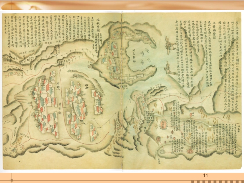
- 6. The title-page of the “Map of Russia” Aguk-yeojido 俄國輿地圖
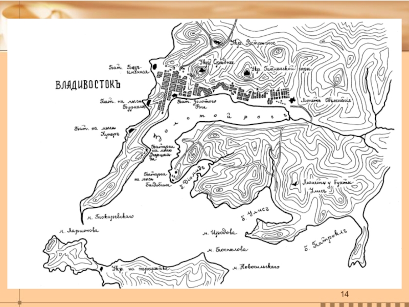
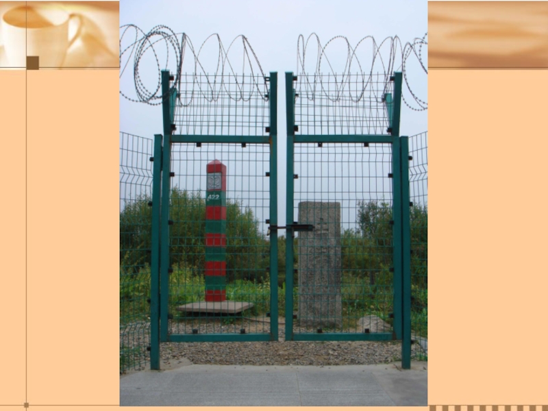
- 9. Tri-border area, showing the Tumen River flowing south and the Russian/Korean border railway bridge.
- 20. Thank you!
Слайд 1 The Committee for Promotion of Ming-Qing Studies, Academia Sinica June
19, 2014. Taipei
Russia-Korea-China borderland and Korean migrations: a case study of the XIX century “Map of Russia” 俄國輿地圖


Слайд 3
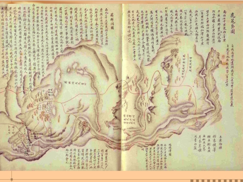
混一疆理歷代國都之圖
“The Map of Integrated Lands and Regions of Historical Countries and
Capitals” (1402)
")

")


Слайд 9Tri-border area, showing the Tumen River flowing south and the
Russian/Korean border
railway bridge.